Τετάρτη 10 Φεβρουαρίου 2021

Designing Europe


Grade C

In Environmental Studies students learn what a map is and how to construct a map.

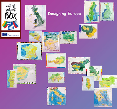
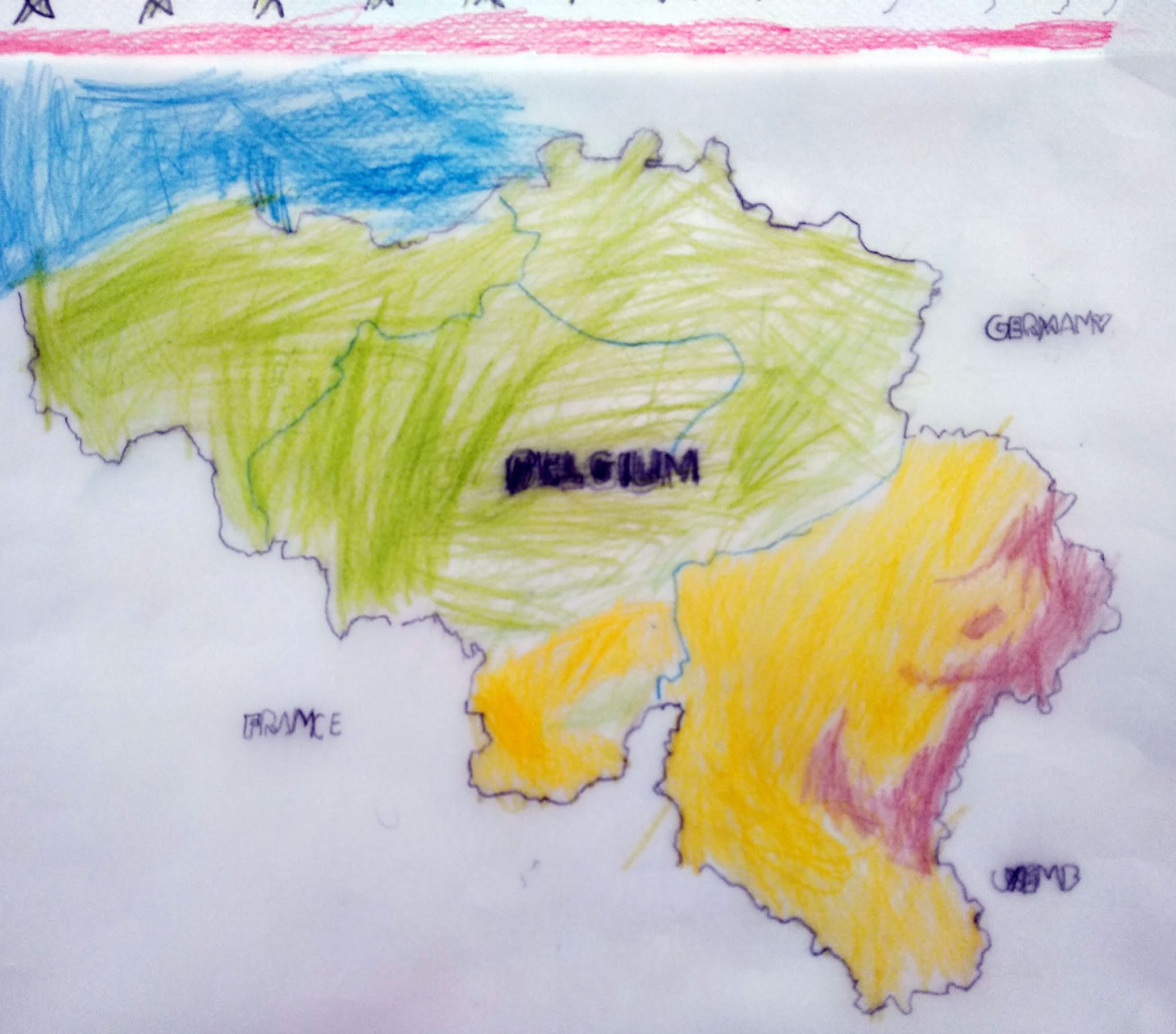
Driven by this, we decided in the Erasmus + Program "Europe" to draw the maps of different countries of Europe. We recorded the mountains, the plains, the rivers, the lakes, the seas on rice paper…

Then we made the "Puzzle of Europe" with these maps. So the students understood how to make geophysical maps, the information we draw from the geophysical maps, where each state is located and looked for basic information about each of them.

Let's play by clicking on the first image in free puzzle software.


Related Posts:

  • Carols-skype meeting-erasmus+     On 20/12/2018 a skype connection was made to the school in Slovenia, with which we are together in Erasmus +. The children said the car… Read more
  • I know me-erasmus+ The 1st Grade of the 5th Primary School of Chania, named the project "I Know Me" The purpose of the program is: To know the human skeleton, its par… Read more
  • Love yourself-erasmus+ Love yourself-The human body-Class: 6th (11-12 years old)-History, Music and Arts. Regarding the subject “the human body” we decided to occupy ours… Read more
  • Creating “wire people” 6th grade- Creating “wire people”- Continuing our activities regarding the human body, we enabled ourselves with a very special artistic work: cre… Read more
  • skype meeting-erasmus+ On the 13/11/2018 we had the first skype connection between the schools of the project (Lithuanian and Slovenian). Despit to the technical issues, t… Read more